Plan your Trip

Beartooth Highway

Cooke City to Red Lodge on the Beartooth Highway (Summer)

68 miles

Beartooth Highway

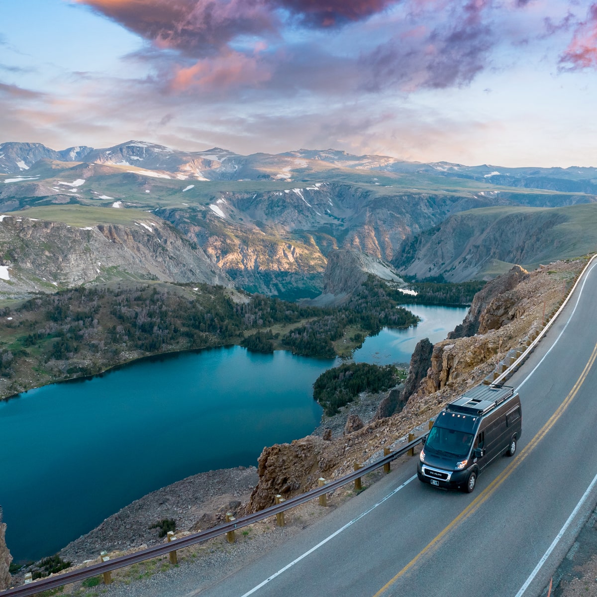
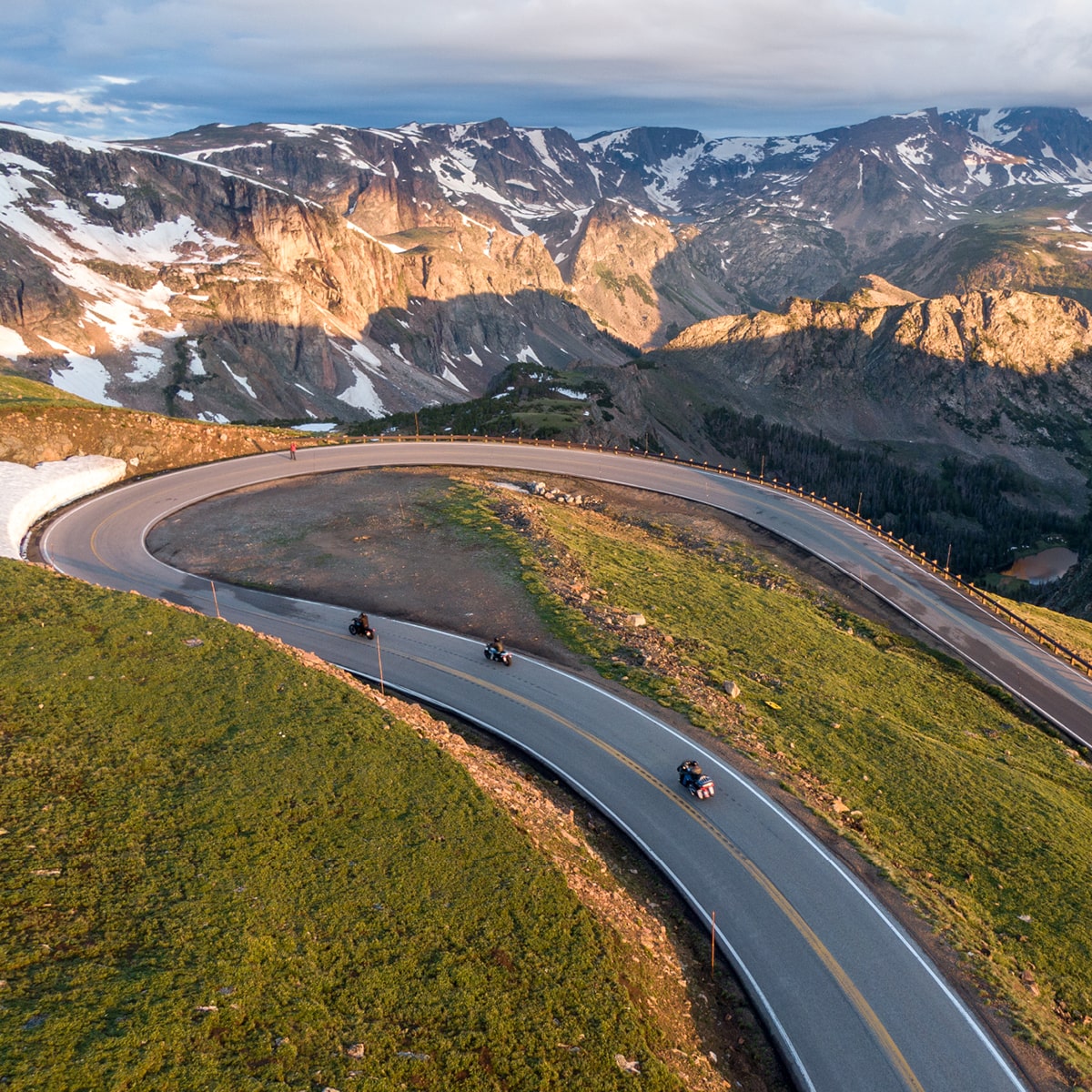
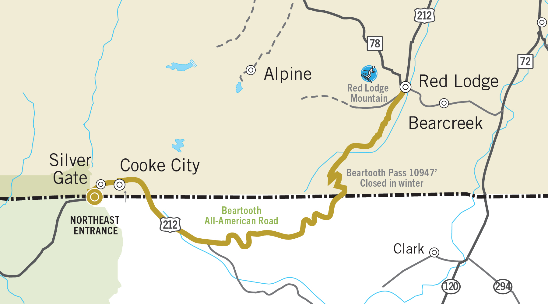
In Cooke City, Montana, stop and grab a snack, some water and a full tank of gas for the next adventure. The scenic Beartooth Highway is one of the most scenic routes in America and is known for some unbelievable views. We suggest setting aside 3 to 4 hours for this 68-mile drive. Head east out of Cooke City toward Red Lodge, Montana.

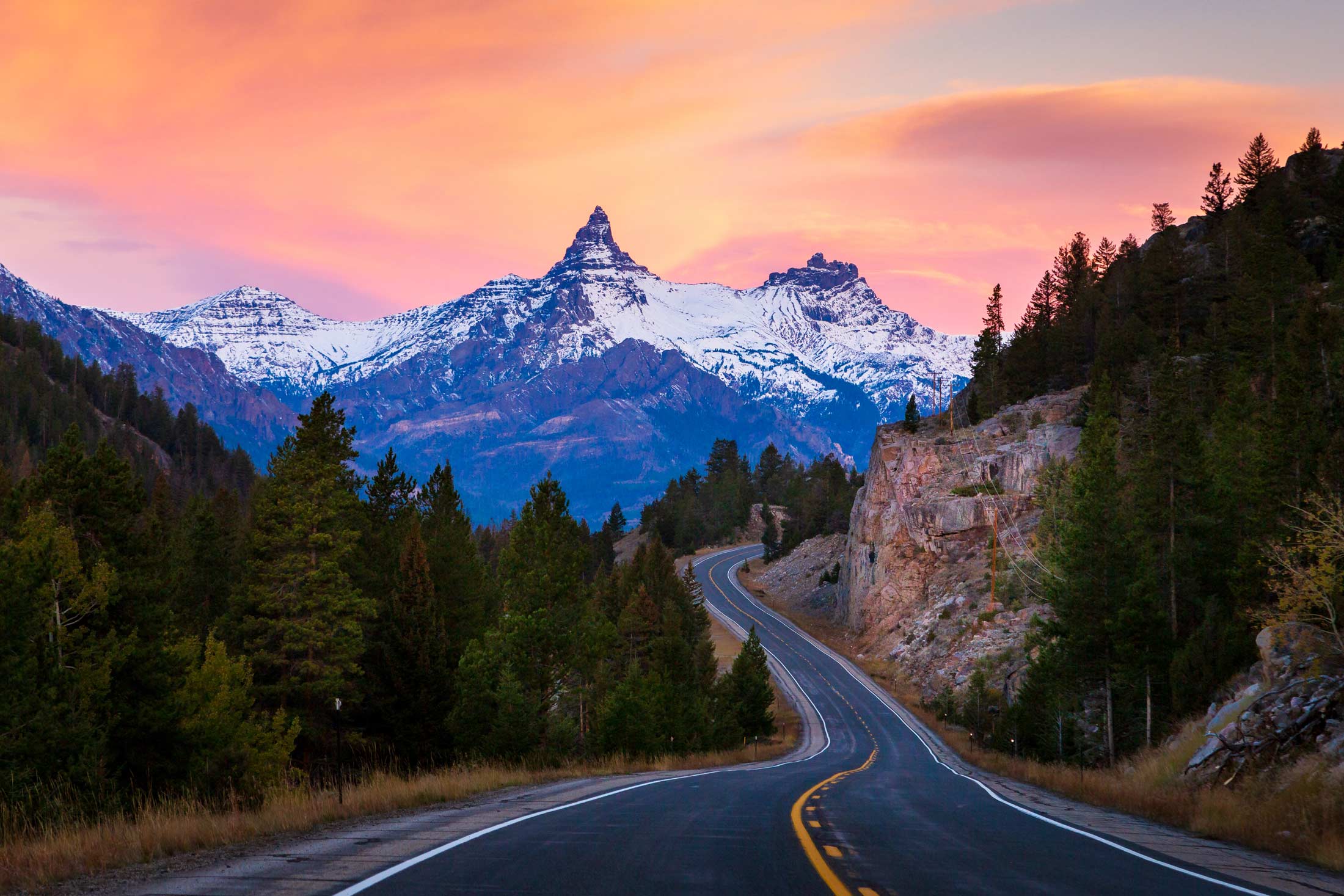
Pilot Peak, Beartooth Highway itinerary image

Pilot Peak, Beartooth Highway

Beartooth Highway 2 itinerary image

Beartooth Highway

POINTS OF INTEREST ALONG THE BEARTOOTH HIGHWAY

  • Beartooth Highway Orientation Site
    Learn about the Beartooth Mountains, early mining history and the Beartooth Highway.
  • Clark’s Fork Trailhead and Picnic Area
    Just before passing over into Wyoming, this stop is a great place to enjoy horseback riding, camping and a Nez Perce Interpretive Site.
  • Lake Creek Falls
    A powerful waterfall that flows under the Beartooth Highway. A short hike takes visitors to the pedestrian bridge to get a better view of the falls.
  • Pilot and Index Peaks Overlook
    One of the most photographed views along the Beartooth Highway.
  • Beartooth Bridge and Falls
    Beartooth Lake flows under a historic bridge built in the ’30s and turns into a stunning waterfall. A short walk here will get visitors to the Beartooth Lake, which offers fishing, canoeing and a view of Beartooth Butte.
  • Top of the World Store
    At about the halfway point on the Beartooth Highway, the Top of the World Store offers travelers food, fuel and even a place to stay overnight. It is roughly 25 miles east of Cooke City on the Beartooth Highway.
  • West Beartooth Pass Overlook
    This is the highest point along the Beartooth Highway, at 10,947 feet above sea level. Even in the summer, this stop can be chilly, so bring a jacket.
  • Gardner Lake Pullout and Trailhead
    Stop here for the Beartooth Loop National Recreation Trail. Also a great place to view the Bear’s Tooth, the rock formation for which the highway is named.
  • Rock Creek Vista Point Rest Area and Interpretive Trail
    Experience incredible views of Rock Creek Canyon and Hellroaring Plateau. This point offers a short trail that is wheelchair accessible.
Beartooth Highway itinerary image

Beartooth Highway

Island Lake in the Beartooth Mountains itinerary image

Island Lake in the Beartooth Mountains

More Great Yellowstone Country Itineraries

Start discovering now. Get your free travel packet.
Free Travel Guide
Beartooth Highway
Itinerary