
Cross-Country Ski and Snowshoe Trails around the Absaroka-Beartooths
Republic Creek Trail
Story and Photos by, Melynda Harrison | TravelingMel.com
For those looking for a quiet spot in the mountains to get away from it all, the base of the Absaroka and Beartooth Ranges is an ideal spot to clip into cross-country skis or strap on snowshoes and explore a winter wonderland.
Some would argue that the Beartooths and the Absaroka Mountains are really one range cut in half by the large Boulder River Valley. Geologically, that’s true. But when looking at maps or talking to locals, the western half of the range, with the Paradise Valley on the west and the Boulder River Valley on the east, is considered the Absoraka Range or the Northern Absarokas. From the Boulder River east to the prairie is the Beartooth Range.
Whatever you want to call these mountains, they hold many valleys, lakes, and mountains to explore in winter.
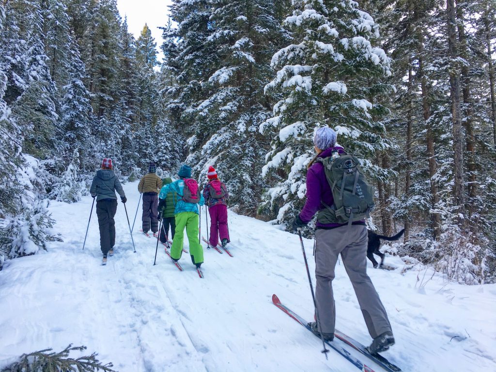
If you are snowshoeing, please stay to the side of the cross-country ski tracks.
West and South Side of the Absarokas
Mill Creek Area Trails
Mill Creek is the largest drainage in the Absaroka Range and has a number of trails for cross-country skiing, snowshoeing, snowmobiling, and dogsledding.
Skiers and snowshoers can head up the Snowbank Road (also called “Wicked Creek”) across the creek from the parking area. This old logging road is closed to snowmobiles. The trail winds steadily uphill through forested sections and clearcuts. There are great views into the Absoraka Range as you get higher.
Ski or snowshoe as far as you desire, then turn around and enjoy the downhill. There is a fun, sometimes harrowing, hill in the parking area for sledding.
Getting there: From Livingston, drive just over 15 miles south on Highway 89 and turn left (east) on Mill Creek Road. Drive another 11.5 miles to where the plowed road ends at a gate and parking area.
Grab a local beer at Katabatic Brewing Company after playing in the snow.
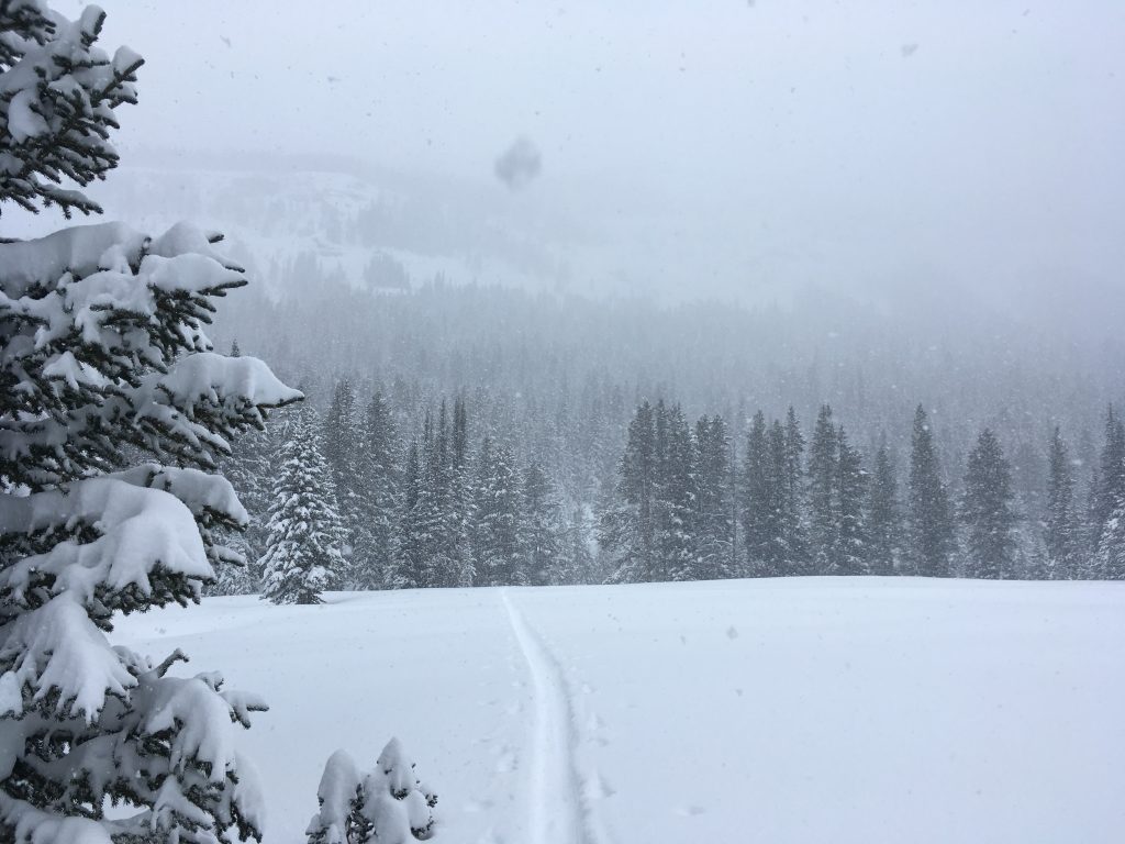
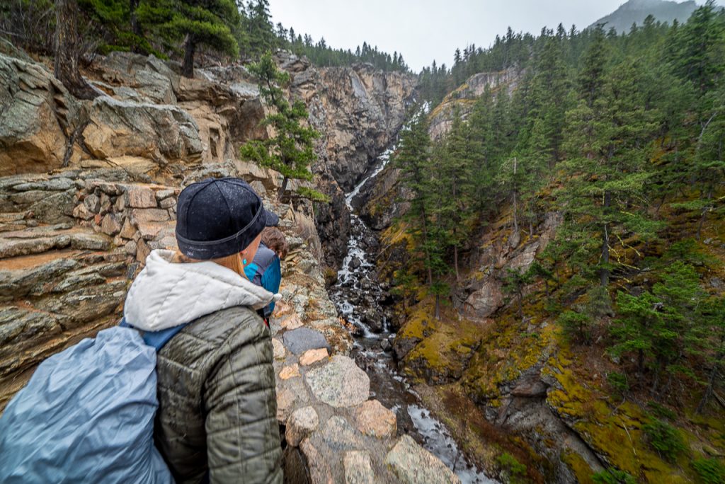
Republic Creek Trail
The lower part of the Republic Creek Trail makes for a lovely ski or snowshoe tour. Follow the trail along burbling Republic Creek for about 1.5 miles where you will reach a meadow. Backcountry skiers with avalanche training may want to ski farther, but for most casual cross-country skiers and snowshoers this is a good turn around spot.
Getting there: From Cooke City, turn south on Republic Road and cross Soda Butte Creek. Turn right and follow the road as it curves left and uphill 1.3 miles to the trailhead.
Stop by the Miners Saloon in Cooke City for a warming beverage after your ski or snowshoe adventure.
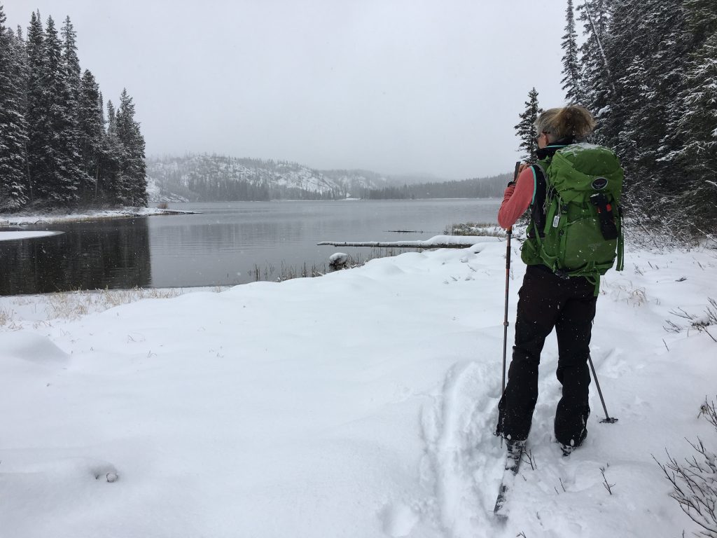
Kersey Lake
The trail to Kersey Lake starts out a little wonky as you’ll have to take your skis off to go down a set of stairs and cross the creek. After that the trail is mellow and fun for the 1.5 miles to Kersey Lake.
As you scoot through the forest-lined trail, stay to the right at the trail junction at 0.5 miles and parallel Sedge Creek to Kersey Lake, bypassing the trail to Vernon Lake at 1.2 miles.
Getting there: From Cooke City drive 3.5 miles east and park across the road from the Chief Joseph Campground.
Warm up with hot cocoa from Stop the Car Trading Post in Silver Gate upon your return.
North Side of the Beartooth Range
Silver Run Ski Trails
These mellow trails wind through meadows, forests, and boulders and along West Fork Rock Creek. There are 2.4, 4.5, and 5-mile loops. For an added challenge, and ideal for snowshoers, add the Ingles Creek and Silver Plateau Trails to your outing and loop back on Silver Run Road.
Getting there: Drive about five miles up the West Fork of Rock Creek to the Silver Creek Ski Trails on the left. Map: https://www.fs.usda.gov/Internet/FSE_DOCUMENTS/stelprd3835068.pdf
Stop by Red Lodge Pizza Co. after your ski for drinks and a Crazy Cookie.
Lower Lake Fork Trail
There are two loop options on this popular cross-country ski trail. Both involve skiing up Lake Fork Road in one directions and then crossing Lake Fork Rock Creek and skiing back along a trail. The first loop is 1.0 mile. Keep skiing to the end of the second loop for a 3.2-mile tour.
Getting there: From Red Lodge, drive south on US Highway 212 for 9.1 miles. Turn west (right) onto Lake Fork Road and park. Map: https://www.fs.usda.gov/Internet/FSE_DOCUMENTS/stelprd3835068.pdf
Aprés ski or snowshoe at Red Lodge Ales in Red Lodge.
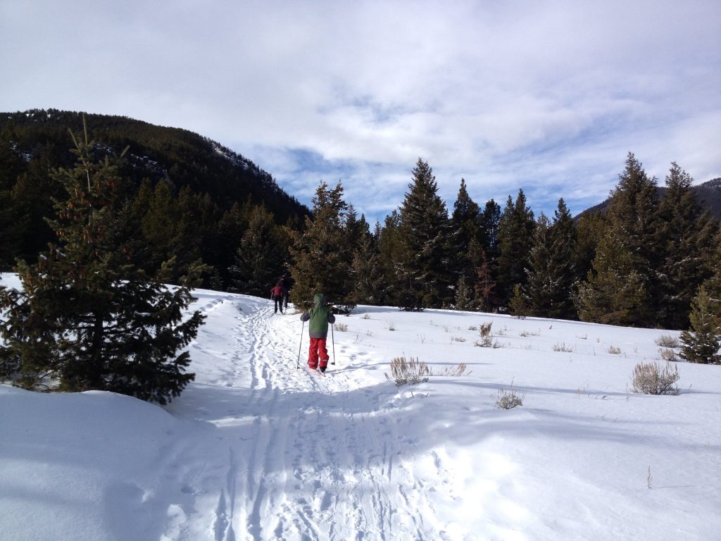
Woodbine Falls Trail
This 1.5-mile roundtrip trail is best for snowshoes in winter, though the Woodbine Campground where the trail starts makes for a nice cross-country ski tour.
To snowshoe to the 260-foot waterfall, follow the trail upstream to a footbridge. The half frozen creek is lovely in winter. The trail winds uphill to an overlook with a short stone wall and a superb view of dramatic Woodbine Falls.
Getting there: From Fishtail, drive 28.3 miles on County Road 419 to the signed campground and trailhead (three miles past the Stillwater Mine). Park near the closed campground gate and follow the road on foot to the trailhead across Stillwater Creek and on the left.
Stop at Wildflower Kitchen in Fishtail on your way to the trailhead for takeaway lunch and hot drinks.
Where to Rent Cross-Country Skis and Snowshoes
Livingston - Dan Bailey’s Outdoor Company https://danbaileys.com/
Gardiner - Park’s Fly Shop https://www.parksflyshop.com/winter/index.html
Mammoth (Yellowstone) - Bear Den Ski Shop https://www.yellowstonenationalparklodges.com/adventure/winter-adventures/lessons-and-rentals/
Red Lodge - Sylvan Peak Mountain Shop http://www.sylvanpeak.com/